

Trillium Learning – A World Bridge™ Unmanned Aircraft Systems – Scientific Applications, U.S. Fish & Wildlife Service – Invasive Plant Control, University of Massachusetts at Amherst, Environmental Biology Studies, NASA Ames Research Center – World Wind GeoSpatial 3D Platform, Kodiak Island Borough School District
There is a serious spread of several invasive species in the Connecticut Valley Watershed which exists throughout the entire New England area. The “Brickyard” area in Westfield, MA was identified as an area that was difficult to survey, yet a highly probable affected area. The general area was scoped out by U.S. Fish & Wildlife and UMass personnel, and Trillium planned a UAS mission. Area residents approved permission to fly the Environmental Mission and a nearby airport tower was notified; although the distance was adequate, the UAS team still communicated with the airfield during the airborne mission duration.
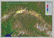
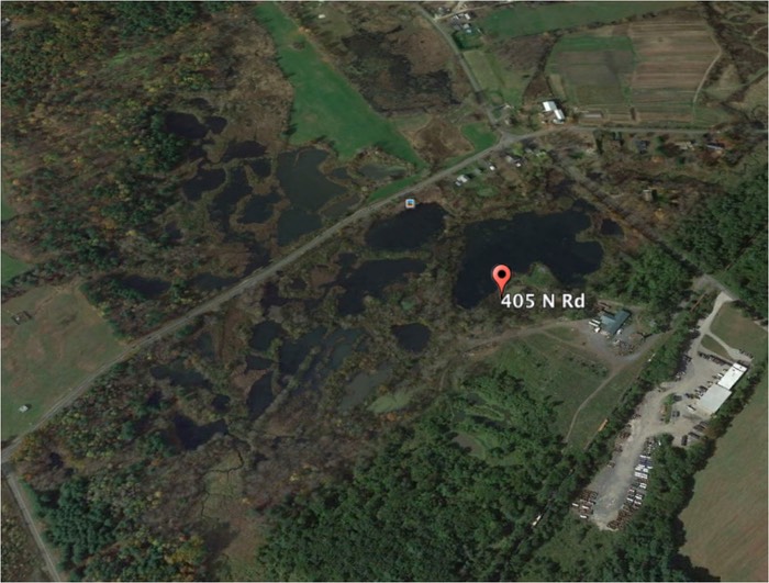
Approximately 180 images were acquired for the first orthomosaic below, then processed and analyzed. U.S. Fish & Wildlife identified several areas affected by invasive species (see sample below).
Westfield Target Area for Invasive Species Identification
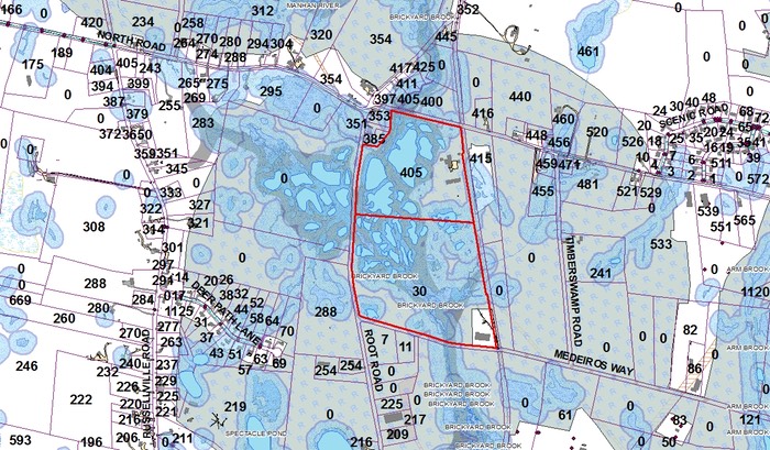
Westfield Brickyard Area
Westfield Brickyard Target Areas (both sides of road)

180-image Orthomosaic
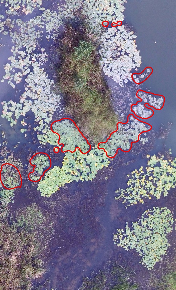
Sample Highlighted Invasive Species Identification Areas (red)