
UCF Natural Resources Program
In cooperation with: Amanda Lindsay, Senior Biologist, UCF Natural Resources Program, and Jennifer Elliott, Coordinator, UCF Arboretum Programs.
Senior Biologist Amanda Lindsay helped set up logistics and identified an initial area for the Trillium aerial Unmanned Aviation System (UAS) mapping mission; she also monitored and assisted Trillium with flight operations. Additionally, a Site Use Permit was applied for electronically. The Research and Course Site Use application is now on record and is also used to develop technology that will help identify invasive plants in natural areas. The flight was performed on Friday, Feb. 12, and Amanda also informed the campus police.
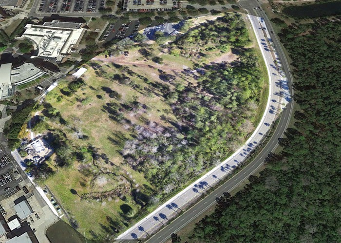
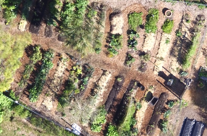
The initial target area for prototype mapping is the main Arboretum site. The following image illustrates the full orthomosaic created from over 90 images captured by the high-definition mapping UAS, and in contrast to the old satellite imagery surrounding it.
Future actions include Natural Lands field image data collection, invasive species management, habitat restoration activities, stormwater maintenance, and other environmental impact areas. An upcoming initiative will include the prescribed burn program, which will gather pre- and post-burn data in order to develop disaster resilience strategies. The UAS data will be utilized by GIS projects related to conservation and protection of our natural lands through effective land management practices.
The Mission Plan included a map which covered a tight perimeter within the Arboretum space; care was taken to fly over the area without anyone walking the grounds.
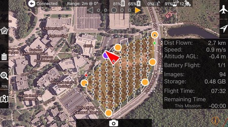
The flight covered approximately 12.6 acres, a 1.7 mile flight path, maximum speed of 17 mph. altitude of 165 ft. A total of 94 images were captured for the orthomosaic processing at a 2.2 cm/pixel resolution.
Environmental conditions: Full sun/no clouds, winds were variable at 5-10 mph, 73 degrees F.
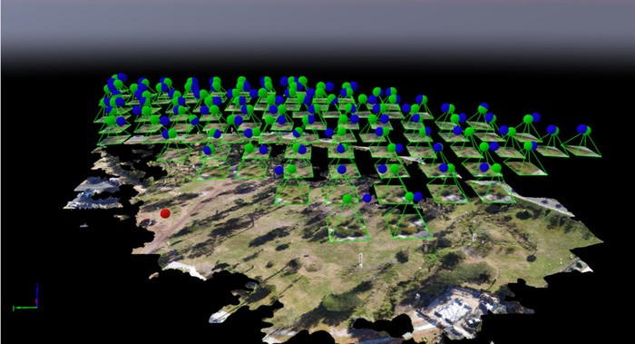
The orthomosaic was processed from 94 images, (link to the image processing report). The orthomosaic is a 309 MB GeoTiff, and can be directly imported into GIS software. The image is 13,454×15,041 pixels (W=187 in. H=209 in.) and may be downloaded (here). or click the image below. Additionally, a compressed Stuffit (.sitx) file contains the KML image tiles -uncompress the .sitx file and open the KML file with Google Earth or soon, NASA World Wind (click here to download = 171 MB). The entire package of 94 actual-size images are compressed into one .sitx 368 MB file and may be downloaded here
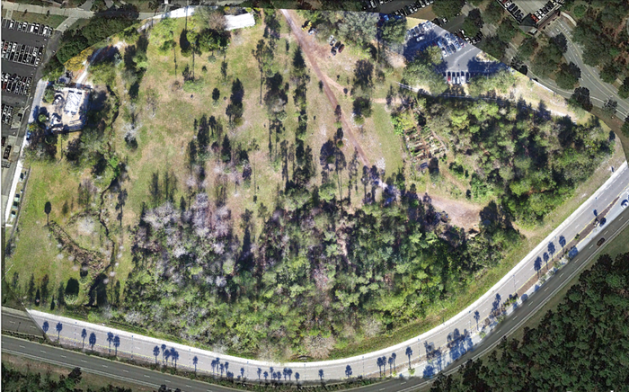
UCF Arboretum Orthomosaic (94 images)
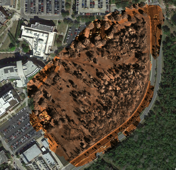
NDVI Near InfraRed (NIR) Orthomosaic (click here)
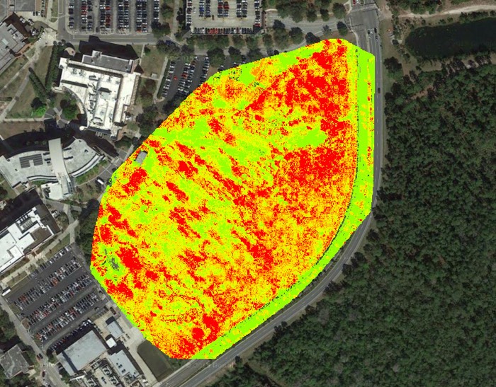
Colorized NDVI Orthomosaic(click here)
UCF Arboretum 94-image Point Cloud
Example Image (cropped) – Actual Size
Example Image (cropped) – Actual Size