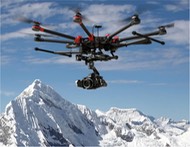
The Remote Control Association of Central Florida (RCACF) is a wonderful AMA club, with members dedicated to promoting remote-control flying. They have highly experienced trainers coaching all levels of the aeronautical hobby, from newcomers, to highly sophisticated models and flight skills. The RCACF is an AMA (Academy of Model Aeronautics) club, and Trillium Learning is happy to be a member of this club with its skilled, fun loving staff and officers. RCACF is open to all forms of aircraft, from fixed-wing to Unmanned Aircraft Systems – high definition camera drones. Trillium tests several of its remote controlled aircraft here, as part of the A World Bridge™ program – a series of real-time projects implemented in schools around the country.
The RCACF maintains an impressive, nearly 50-acre airfield and facilities just north of Orlando, FL – Tangerine Field. The images below were generated during our first survey – mapping flights for the club.
The first step in creating a high-definition area map, is to create a flight plan, which programs the UAV to fly particular paths (transects) and perform actions at multiple waypoints – such as taking photos and/or video. The first image illustrates the programmed path uploaded to the drone, which allows it to fly autonomously.
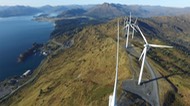
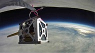
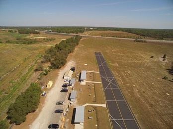
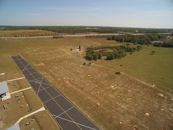
Before we get to the survey map, here are some pics during a preflight test.
Tangerine Field Mission Plan – Waypoint Map and Parameters
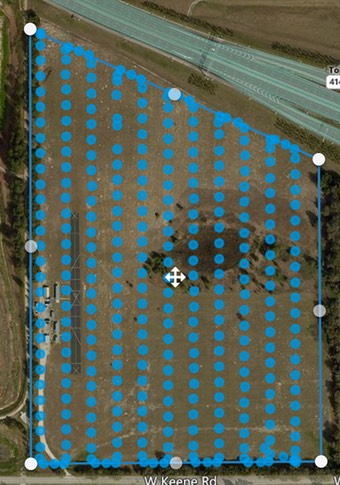
Date: Mar. 28, 2017
Number of Waypoints: 308 image capture locations.
Area: 47 acres
Image resolution: 1.5 in./px
Flight time: 11:32
Altitude: 300 ft
Image capture front overlap: 75%
Image capture side overlap: 75%
Max flight speed: 25 mph
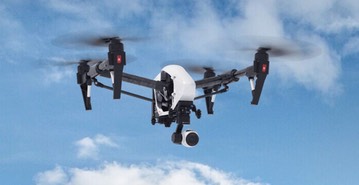
UAV: DJI Inspire 1 with 4K X3 Camera
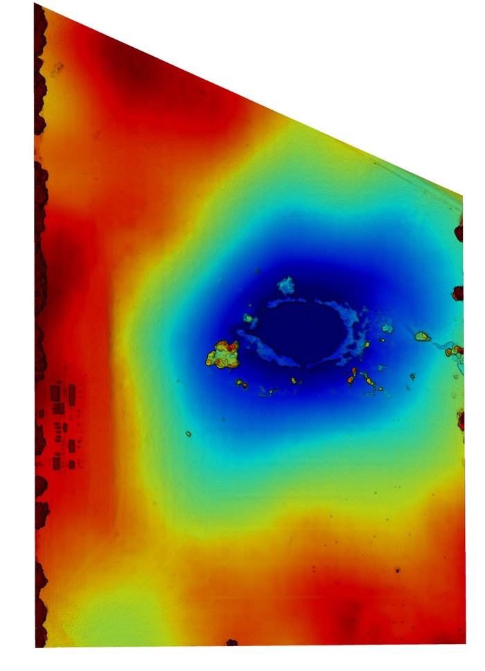
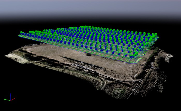
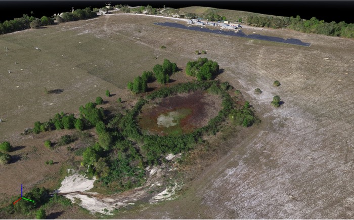
Once the images are captured, a point cloud is generated which locates each picture and geolocation above the ground. This is used to generate a 3D image of the area.
3D Point Cloud
3D Map created from point cloud
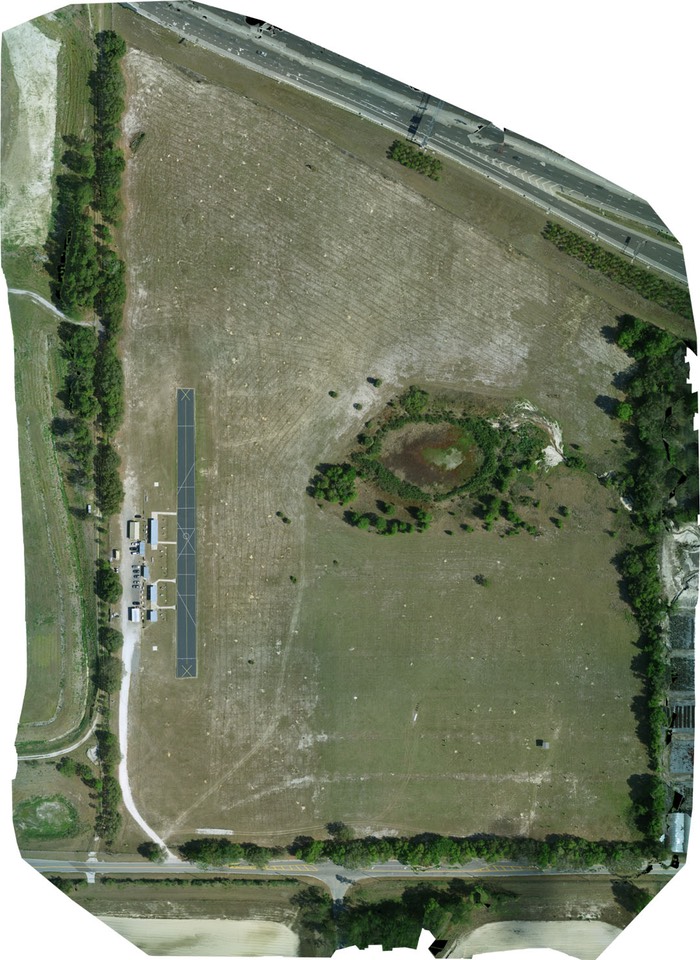
308-image Orthorectified Mosaic (357 MB) Click Here to download
Elevation Map