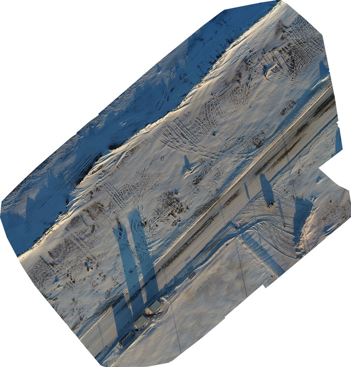
First Barrow Shoreline Monitoring Data
On October 26, 2017, the North Slope Borough School District-A World Bridge – Unmanned Aircraft Systems team conducted its first shoreline erosion monitoring mission, with a short test flight for data acquisition, and first-flight testing on UAV at cold temperatures.
Mission Details
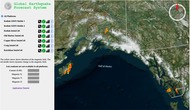
Location: Just north of Ilisagvik College. Launching Point Latitude: 71.3325, Longitude: -156.6618
Satellite Map of Location
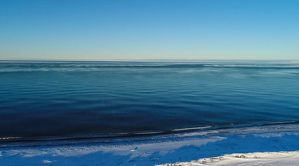
Environmental conditions: Low-horizon sunlight, 1˚ F temperature and 7-10mph wind.
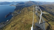
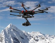
Aircraft: Unmanned Aircraft System (UAS): DJI Inspire 2 with X4S camera.
DSM and Orthomosaic Resolution 1 x GSD (Average Ground Sampling Distance):
= 1.2 cm/pixel
Area Covered 0.0208 km2 / 2.0773 ha / 0.008 sq. mi. / 5.1357 acres
Altitude: 154 feet
GPS Satellites locked: 20
Image capture mission time: approximately 12 minutes
Dataset: 108 geolocated images (Download .zip 846 MB)
Individual image dimensions: 4,864×3648 at 7.8 MB each
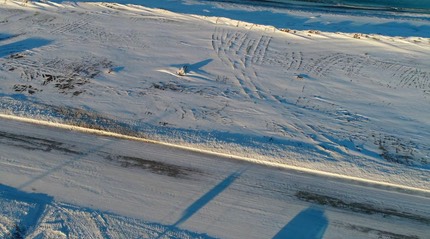
Orthorectified/GeoTif Image (generated from 108 images)
Dimensions: 14,830×15,554 (206”x216”)
Kind: GeoTiff
Size: 286.4 MB Download
Orthomosaic in .jpg format (28 MB) download
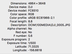
Example Metadata per Image
Import into QGIS Software
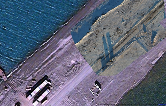
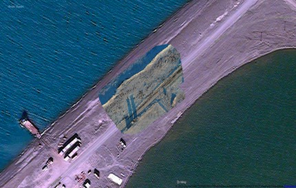
Closeup 1 showing old satellite image and Geotiff overlay – new location for berm and shoreline
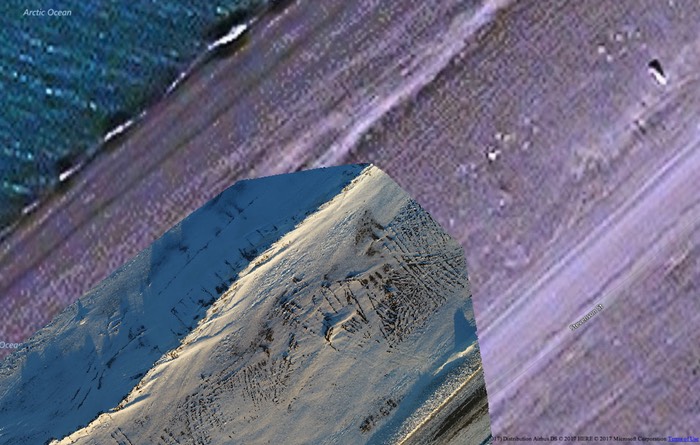
Closeup 2 showing old satellite image and Geotiff overlay – new location for berm and shoreline
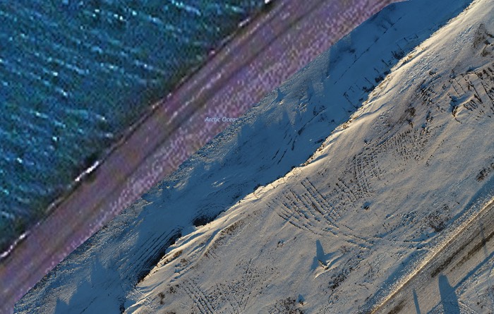
Closeup 3 showing old satellite image and Geotiff overlay – new location for berm and shoreline
Video
North Barrow Mission Launch (Download MP4 @ 41 MB)
North Barrow Mission Landing (Download MP4 @ 26 MB)
Issues
The -1˚F ground temperature (unknown at 150’ altitude) pushed the range of the operating limits; while this UAS is capable of -4 degrees F, the RC controller began to lose functionality, so the UAS was landed for vehicle safety and inspection. The UAS did not acquire GPS positioning/satellite communication until it was at minimum 50 foot altitude. All data was safely captured and saved.
Two videos were recorded for archiving environmental conditions; vehicle launch and landing.