


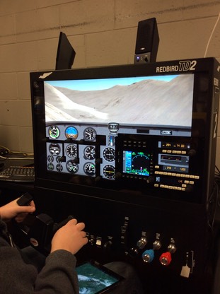
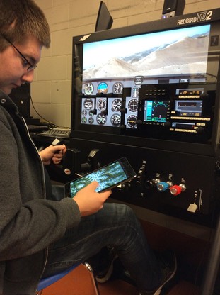
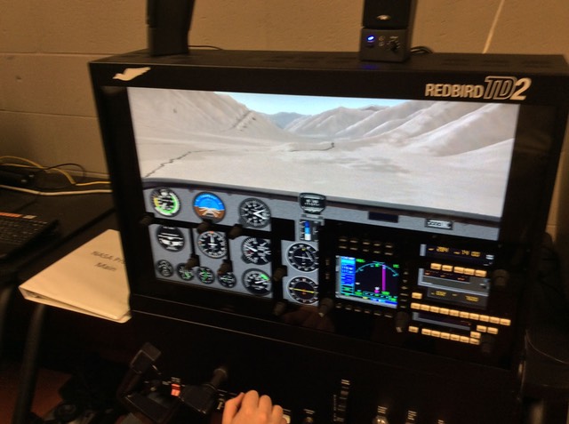
The North Pole HS NASA team has access to Redbird TD2 flight simulator equipment, and are able to perform comparison studies between imagery and functionality of the NASA TAIGA iOS application, and their flight simulator. The following images and videos represent their first comparison activities.
The Atigun Pass
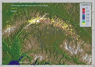
NPHS NASA Team began comparison study testing, utilizing difficult terrain selection. This picture shows the difficult terrain encountered at the Antigun Pass, a high mountain pass (elevation 4,739 ft) is located across the Brooks Range in Alaska. At this location, the Dalton Highway crosses the Continental Divide and is the highest pass in Alaska that is maintained throughout the year.
The Atigun Pass is known to bush pilots for difficulty in crossing with small planes, and considered dangerous at times.

Flying Atigun Pass 1
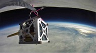
Right – Student Flight Simulator pilot navigating Atigun Pass, with iPad on lap.
Below – student comparing World Wind TAIGA imagery and functionality with flight simulator.
Flying Atigun Pass 2
Following the Alaska Pipeline through Atigun Pass